


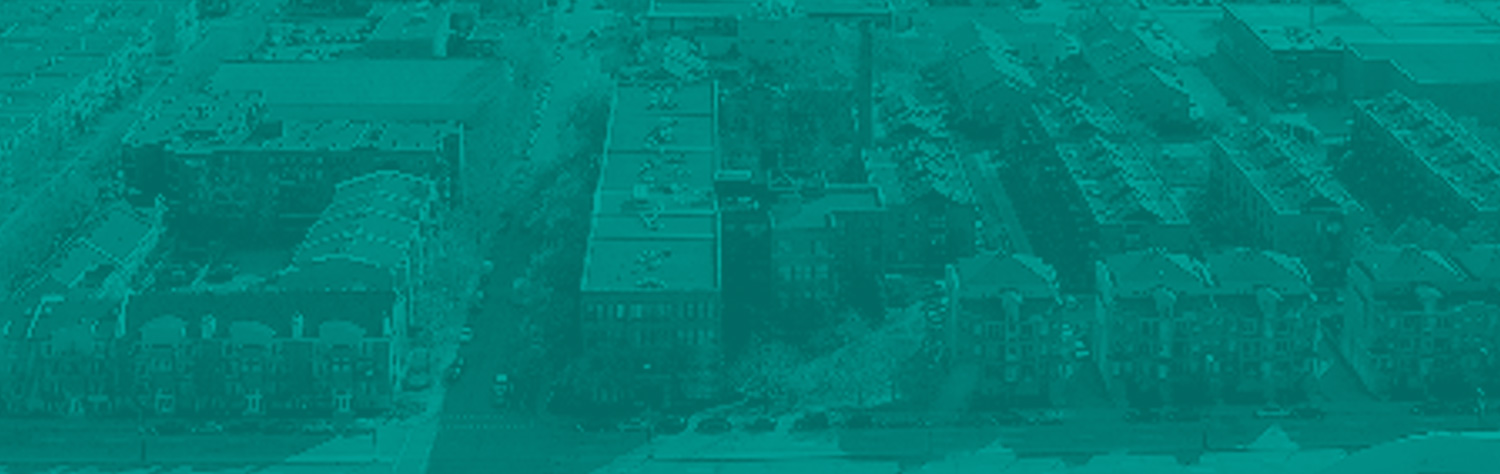


Stretched out along the Rivière des Prairies at the northwest end of Montréal, the borough of Ahuntsic-Cartierville comprises six neighborhoods: Cartierville, Nouveau-Bordeaux, Nicolas-Viel, Sault-au-Récollet, Saint-Sulpice and La Visitation.
During his voyage in 1535, Jacques Cartier would have arrived at the village of Hochelaga via Prévost creek, which led to a cove west of Nicolas-Viel park. The third set of rapids was too steep for him to continue up the river, given the draft of his vessel and the estimated flow of the river at the time of his voyage, and he would have been required to retreat downstream.
The old parish of Sault-au-Récollet is a Montréal community with a rich history.
The village of Sault-au-Récollet, located near the Papineau-Leblanc bridge, was one of the first settled areas in Montréal. It was named in memory of a Recollect, Father Nicolas Viel, who drowned in the nearby rapids in 1625. His companion in misfortune was a young French boy named Ahuntsic, newly arrived in the colony. (Source: René Tellier, "Le petit guide du Sault".)
In 1696, the Sulpicians built a fortification at Sault-au-Récollet, which gave birth to the village. The village was strategically located above the rapids on the Rivière des Prairies, where travellers returning from fur country landed to start their portage. From 1696 to 1721, the Sulpicians operated a mission there called “Notre-Dame-de-Lorette”.
The La Visitation parish church was built steps from the flourmills in 1751 and remains there today. The municipality of Sault-au-Récollet, which included the parish as canonically established, was founded on July 1, 1845. The village of Sault-au-Récollet became a municipality on April 11, 1910, and then a town on February 19, 1914. It was eventually annexed to Montréal on December 22, 1916. What remained of the territory of the parish of Sault-au-Récollet was finally incorporated as a town under the name Montréal-Nord, on March 5, 1915.
In the 19th century, three villages took root along the banks of the Rivière des Prairies, westward along Chemin de la Côte du Bord-de-l'eau (now Gouin Boulevard): Cartierville (originally "L'Abord-à-Plouffe"), Gros-Sault and "Back River", which became Ahuntsic in 1897. Bordeaux split off from Cartierville the following year to become an independent village. The more-affluent Saraguay area, at the west end, would do the same in 1914. With the exception of Saraguay, all these villages would be annexed to Montréal before the First World War. Ferries linked the shoreline to Île Jésus at the locations of the present-day bridges. The charm of the river soon attracted wealthy Montrealers, who turned it into a summer resort and enjoyed the spectacle of the raftsmen descending the river on their timber rafts. Members of the influential Montreal Hunt Club occupied lavish villas in the Saraguay woods.
The inauguration of the railway to Saint-Jérôme (1876) and the arrival of the Millen Tramway (1892) accelerate the pace of urbanization in the area. Nevertheless, in the early 20th century, its beaches and wooded areas still made it an important holiday area. The Saraguay Woods, classified as a “natural district” in 1981, offers a glimpse of the high quality of the environment found along the Rivière-des-Prairies at the time, including abundant vegetation, a wide variety of trees and birds, and clean water.
When Belmont Park opened in 1923, the city had already reached what was once the country, and young people came in droves to enjoy the thrill of the rides. The clean air of Cartierville nevertheless remained a draw for the Sacré-Coeur Hospital, seeking a healthy environment for tuberculosis patients.
The river originally had four sets of rapids: La Visitation, Des Prairies, Bordeaux and Cheval Blanc. The construction of a hydroelectric dam in 1928 by the Montréal Light, Heat and Power Company (now Hydro-Québec) flooded the Des Prairies rapids, between the eastern edge of Stanley park and the cove to the west of Nicolas-Viel park, and the Bordeaux rapids, between the western tip of Perry Island and Raimbault park. (Two islands, Pine Island and Sergeants Island also disappeared.)
The last vestiges of countryside disappeared with the post-war housing boom, with streets laid out right to the edges of the area. In 1959, boulevard Henri-Bourassa was built, and five years later, Saraguay, the last rural enclave, was annexed to Montréal. With the construction of the Metropolitan Expressway, the Laurentian Autoroute and the metro system, the integration of this borough into the rest of the city would be complete.
Today, with its waterfront parks, bike paths and Olympic facilities, the borough is reconnecting with its initial recreational vocation.
*Loose translation of texts from a brochure entitled "Des quartiers à découvrir: Arrondissement Ahuntsic-Cartierville" by Service de l'habitation et du développement urbain, Module des permis, Division de la préservation du patrimoine et du Guide, "Passeport découverte - Dimanche matin, Montréal m'attend", published to mark Montréal’s 350th birthday.
Source: City of Montréal